Region Details
Looking for the best places to Whitewater Kayak in and around Fort Smith? Below are some great routes, trips and resources to help you Whitewater Kayak in and around Fort Smith.
Click here to browse this area with our interactive map.
Northwest Territories
Whitewater Kayak Trips or Routes around Fort Smith
Browse the MapBelow the Falls
Little Buffalo
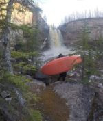
- Little Buffalo river is the first whitewater run in the region to open up and paddlers go here to warm up and get a taste of creeking while the water is high enough during spring run-off, usually from mid to late May. The put-in is below the Falls, so be prepared to carry your boat 20m down a steep trail down the crumbly sandstone and limestone canyon bank, starting from the Little Buffalo Falls Territorial Campground, 52km NW along Highway 5 from Fort Smith, Northwest Territories.
The run is short (2km) and straightforward with little riffles and some small features, but the water is cold and there is always the risk of fallen trees, strainers and entrapment hazards as forest fires frequently damage the surrounding trees, and otters and beavers are often seen living along the lower parts of the run, where it ends at a boat launch connected to the campground by an unmaintained gravel road. Most people set shuttle here and run the rapids 2 or 3 times in a day. Option to continue paddling and portaging to Fort Resolution, a more arduous 5 day trip.
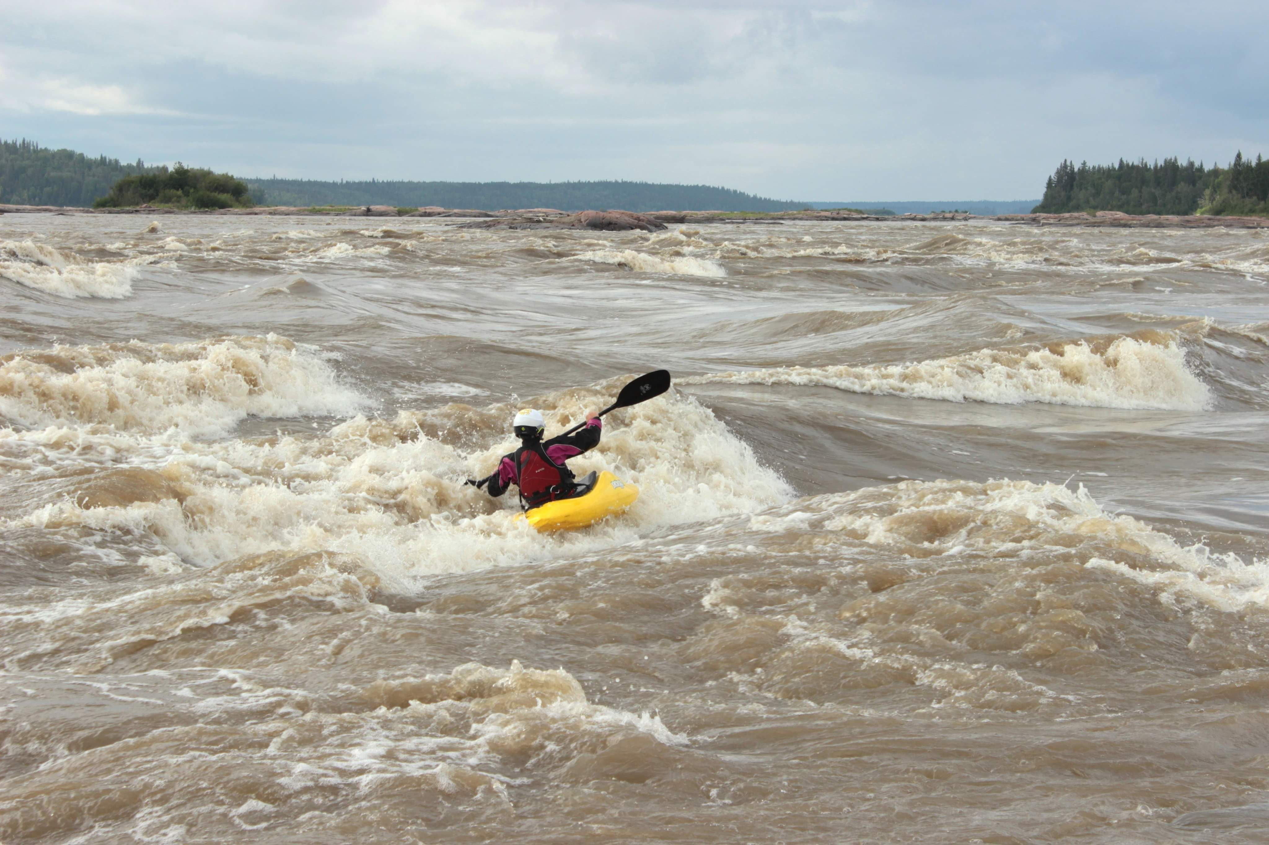
Mountain Portage Playground
Slave River
- The Playground is the wave train between "The Ledge" a series of more difficult rapids just upstream, and a stretch of flatwater downstream. A great beginner spot to do laps of the wave train, surf glossy waves and practice in the beginner friendly "playground hole" on river left - however the waves get bigger farther river right and the playground extends only to 200 metres left of the pelican nesting islands - beyond that is called "Far Side of Mountain".


