PADDLING CLUBS
Map Regions My Trips How To Contribute Add Resources Add Trips Clubs Partners Get In Touch Search

Find your next paddling adventure!

Sorry no results found. Try expanding your search.

Region Details

Looking for the best places to Raft in and around Grand Prairie? Below are some great routes, trips and resources to help you Raft in and around Grand Prairie.

Click here to browse this area with our interactive map.

Diverse is how we would best describe the paddling in this mountain/prairie province. In the west of the province runs are characterized by beautiful backdrops, continuous rivers and cold water. Everything from mellow multi day floats in national parks to hairy class V creeking is available in the west. As you move further east the gradient drops but there are still plentiful paddling options for those looking to float mellow rivers in really unique surroundings. It is a huge province so don't neglect to look north and south too. A very worthwhile paddling destination in it's own right.

Area Sponsor

Local Paddling Clubs

Paddle Junkies

whitewater kayaking club focused on bridging the gap for adult beginner, novice and intermediate kayaking in Calgary and surrounding area
Raft Trips or Routes around Grand Prairie

Browse the Map
Multi day
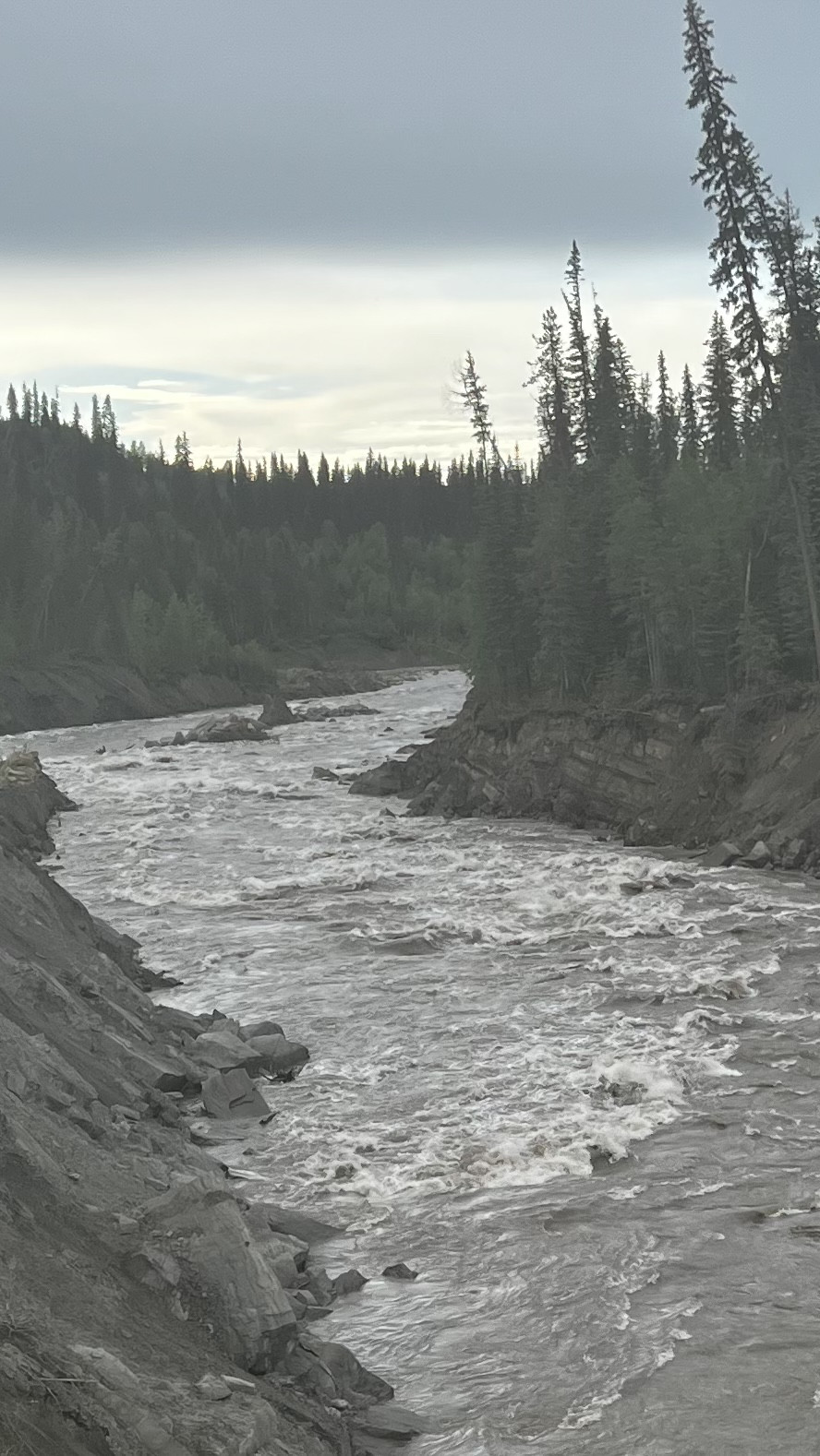
Kakwa River - A big water multiday trip with no required hiking. Rafting companies run this as a 3 day trip, though it can be done in 2 or even 1 day when there are high flows and a strong crew. The run begins with a mellow float which picks up into some grade I-II rapids and somewhere around the 25Km mark (3-4hrs) you arrive at Little Kakwa Falls (IV). This can be identified by a quickening pace in the river associated a sharp left turn with steep gravel bank on the Left and a large gravel bar on the right. Many groups select this as Camp #1. Below Little Kakwa Falls the pace is steady with grade II+/III+ big water, lots of haystacks, a few holes, and plenty of log jams in the corners. Watch for a small creek pouring into the Kakwa from the left down a steep canyon wall as the river swings to the Right. In this section there are a number of surfable waves and even eddy service at some levels. This is an alternate Camp #1. The river continues with more grade III big water until its confluence with the Smoky River. This is a possible Camp #2. From the confluence there is ~4hrs of Grade I-II to the take out, with the exception of some grade III/IV when the Smoky meets the Cutbank River. A large orange train bridge towering overhead will signify that you still have a long way to go :( keep paddling until you see the Smoky Flats Recreation area on river right. You'll know you've missed the takeout by ~1Km if you pass under the one way logging bridge that provides access to the recreation area.

Stay Connected. Get the PaddlingMaps app today!