Betula Lake to Caux Falls Map
Features
Mouth of the River
Access Via Flatwater paddle along Betula Lake.
Small Dam
2-3 feet high. Can get Rententive at high-water. Sneak line of river left at high water.
Small Drop
Typically Boof Right of the small rock island. Scout from island if needed.
Small Rapid
Scout river left if needed. Small bouldery rapid.
Pine Point Rapids
First sizeable slide on the river. Scout river left along hiking trail.
Hiking Trail
Can take you back to the highway.
Acorn Falls
Scout River left if needed. Typically run on the right.
Viburnum Falls
Scout River Left - Steepest Slide on the river.
Caux Falls
Rapid below takeout bridge. Gets Gnarly at highwater! Scout from bridge.
Turn here to get to put in
Google maps doesnt acknowledge this road hence the waypoint here.
Stay Connected. Get the PaddlingMaps app today!


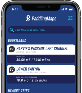
Get the trip info you need,
when you need it most.
- Save bookmarks for offline access
- View trip details
- View river flow data
- View trip feature map