Wilson Creek 5.5km Map
Features
Add Feature
Look on your left for a loosely marked trail off the road bank at approx the 5.5km mark on Wilson Creek FSR. Limited parking is available at the trail head but exists along the roadside. Follow the trail down through the woods until you reach the creek at the base of a steep bank.
Add Feature
Take out on river left along the FSR road bank before the creek veers away towards the Hwy bridge just downstream.
Stay Connected. Get the PaddlingMaps app today!


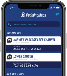
Get the trip info you need,
when you need it most.
- Save bookmarks for offline access
- View trip details
- View river flow data
- View trip feature map