Copper Canyon Map
Features
Take Out
River right below the pipe line. Grace Park. You can continue down the river to Hwy 1. (Class II run)
Landslide Drop
Boulder field at the base of a sheer, river-right wall.
Meltdown
Former mandatory portage drop at the steepest wall point in the 2nd canyon.
Long Class IV
Mandatory Drop (Class IV+/V-)
Solid Class IV with no viable portage option.
The Flume (IV+)
Last Drop (III+/IV-)
River right is the usual line, and river left goes at lower water as well, but don't run the left line at high water.
Powerhouse (Class IV)
River left of the house-sized boulder is the usual line. Advisable to scout for wood, as this is one of the spots on the river where logs lodge most frequently. River right is runnable over 40cms.
Stay Connected. Get the PaddlingMaps app today!


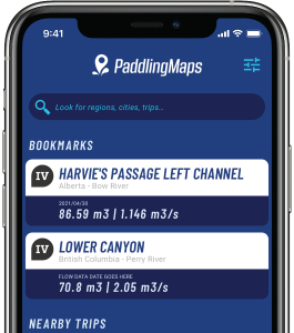
Get the trip info you need,
when you need it most.
- Save bookmarks for offline access
- View trip details
- View river flow data
- View trip feature map