Upper Slocan Float Map
Features
Slocan Village Put in
Ample parking, public access to Slocan Lake that feeds into Slocan River
Lemon Creek Confluence
First set of small rapids below the Lemon Creek Confluence
Pass more Bridge access
Put in or take out for upper float options. Public access with interpretative signage and waste disposal
Slocan Park Bridge access
Public access to Slocan River, access is located downstream on river right of the bridge.
Strobe Road access
Rails to Trails parking area suitable for river entry or exit. Temporary trailer access permitted but vehicles cannot park riverside, Please park in Rails to Trails parking area.
Crescent Valley Beach
FINAL TAKE OUT FOR FLOAT, start of grade II/III section of whitewater
Stay Connected. Get the PaddlingMaps app today!


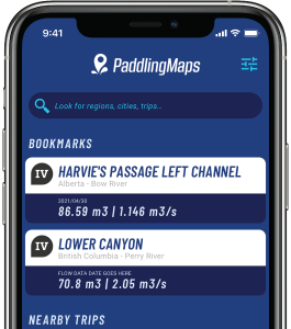
Get the trip info you need,
when you need it most.
- Save bookmarks for offline access
- View trip details
- View river flow data
- View trip feature map