Trips and Routes
Grace Road Park to Hwy 1 Bridge
Chemainus River - A fun little river that has a couple small play spots
Copper Canyon
Chemainus River - This run is classic! It gets demanding very quickly at levels above 35cms on the online gauge. Normal levels begin around 20 cms, but it can be run (bony in the shoals but enjoyable overall) down to 12 cms. The first good rapids don’t appear until about 4 km into the run. The first is a river-left slide/cascade followed shortly by a fun, twisty class III through sheer bedrock. After another km or two reprieve, things start to pick up. Just as you’re ‘gettin in the groove’, an impressive horizon line with a tight line to the left of a house-sized boulder (Powerhouse - Class IV) gets the adrenaline moving. The next drop is a boulder garden with some pin potential on river-right around a large mid-stream boulder. River left opens up at medium to high water. After a few more fun drops, boaters are treated to short flatwater rest before the spectacular second canyon.
On April 5, 2017, a massive landslide occurred at the beginning of the 2nd canyon and dammed the river drowning out 2 of the classic drops. However, the November floods rectified the problem and ultimatey led to an overall improvement in the 2nd canyon. For starters, the former double-drop known as ’sieve drop’ at the beginning of the 2nd canyon appears to be permanently lost (underwater). However, the new entrance drop to the 2nd canyon formed by the debris from the landslide is an entertaining boulderfield that nearly makes up for the loss of ’sieve drop’. As a bonus, the formerly manditory portage just downstream is now runnable through a right shoot and boof at high flows (40+cms). Stay far right to enter and then aim for the river right-of-center hump for the best boof.
In total, the 6 big drops of the 2nd canyon pack in 70% of the excitement of the entire run (and that’s saying alot!). After the steepest-walled part of the canyon, a long, pushy class IV with a rambunctius diagonal hole at the bottom awaits. Immediately afterwards is the pièce de résistance of the run: A virtually unportagable class IV+-V- (depending on flow) drop. This one develops a nasty whirlpool on the bottom right at higher water, and probably deserves class V status above 35cms on the gauge. Cleanest lines tend to be left of centre. Immediately after breathing your sigh of relief comes ‘the flume’ (IV+/V-). Scout from river right (the only option). The flume is a tight channel on river left that has done its share of damage to boats (and helmets, and skulls, and paddles). Higher water makes for an easier ride through the hole. On the heels of flume, the final drop on this beautiful run is anticlimatic, but would be a major rapid on many other runs. Be aware that the big boulder in river center is thoroughly undercut. People and boats have washed cleanly underneath (though rarely together). Two more kilometres of mild riffles lead to the river-right takeout directly across from the river-left Banon creek confluence (and below the overhead power lines).
Stay Connected. Get the PaddlingMaps app today!


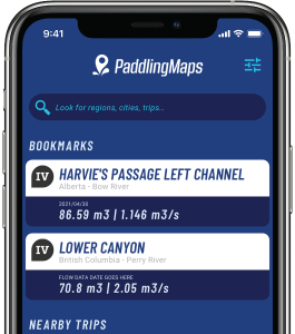
Get the trip info you need,
when you need it most.
- Save bookmarks for offline access
- View trip details
- View river flow data
- View trip feature map