Trips and Routes
Lower - HWY93A to Mile 5 Bridge
Astoria River - A very continuous low volume river running through gravel beds, boulder gardens, and a short canyon section, eventually meeting the Athabasca river before arriving at the take out.
Eddies tend to be small, poorly defined, and sometimes tricky. Channels change frequently with floods and changes in flow. New log jams are common as the river erodes several forested banks along its way.
Nearly everything on the lower Astoria is boat scoutable so long as you can catch the eddies you need and you don't try to fit too many boats into them. Looking downstream from the bridge at the put-in will give you a good idea of the overall character of the run.
Upper
Astoria River - The Astoria will begin to take off in a continuous bed of boulders less than half a kilometer from the put-in. Depending on the flow, either there will be some bumpy sections or you will be wanting to space yourselves out as you begin to speed down a ribbon of white. Don't be too surprised if you can't find an eddy able to hold more than one kayak. If the water is high you will find yourself in an endless but manageable torrent of whitewater making lots of quick technical moves and hopefully keeping your kayak pointing downstream.
After about 5km, the river becomes even steeper and it is time to begin looking for a steep left sweeping turn that ends in a sharp right corner at the canyon entrance drop known as the Howler. You can get out on the left well above this section and walk down to the entrance of the canyon to scout. If the canyon entrance drop looks really nasty, this short but intense canyon will contain several very difficult lines including a river wide hole located just downstream of the entrance.
A bail out option is to head up the river left slope and portage the entire final canyon section. This option is not as bad as it looks and can be done in less than an hour although the mountain slope is fairly steep.
The run ends in a beautiful pool backed up by a small diversion dam perched on the edge of an unrunnable walled waterfall. Exit left and carry your boat down the dirt road and you will come to the main road (takeout) and bridge that crosses over the Astoria. If you haven't had enough you can put back in and run 3.5km more of the Astoria as it flattens out into grade II before joining with the Athabasca River Valley.
Stay Connected. Get the PaddlingMaps app today!


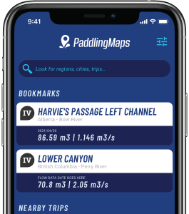
Get the trip info you need,
when you need it most.
- Save bookmarks for offline access
- View trip details
- View river flow data
- View trip feature map